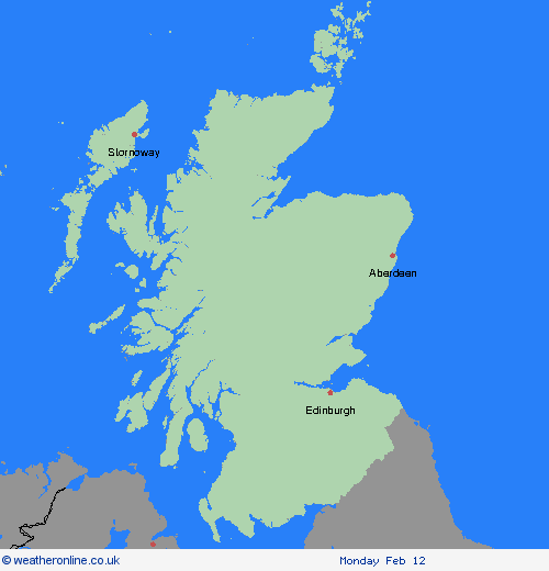
Wetterwarnungen Archiv: Freitag 09.02.2024 09:47 MEZ - Großbritannien


Unwetterwarnung: Schnee
ausgegeben vom Metoffice at
08:47, 09.02.2024
gültig von
09:00, 09.02.2024
gültig bis
15:00, 10.02.2024
Region: Strathclyde
Outbreaks of sleet and snow will gradually move northwards on Friday, persisting overnight and into Saturday. Accumulations will vary from place to place, but some lower ground areas could see temporary accumulations of 1-3 cm of snow, whilst 5-10 cm is expected above 200 metres and perhaps as much as 15-20 cm above around 300 metres. Ice will be an additional hazard. During Saturday, milder conditions will follow from the south with sleet and snow turning to rain. What should I do? Snowy, wintry weather can cause delays and make driving conditions dangerous, so to keep yourself and others safe: plan your route, checking for delays and road closures, amending your travel plans if necessary; if driving, leave more time to prepare and check your car before setting off; make sure you have essentials packed in your car in the event of any delays (warm clothing, food, water, a blanket, a torch, ice scraper/de-icer, a warning triangle, high visibility vest and an in-car phone charger). People cope better when they have prepared in advance for the risk of power cuts or being cut off from services and amenities due to the snow. It’s easy to do; consider gathering torches and batteries, a mobile phone power pack and other essential items. Be prepared for weather warnings to change quickly: when a weather warning is issued, the Met Office recommends staying up to date with the weather forecast in your area
Chief ForecasterDisruption from snow and ice is likely on Friday and Saturday.
The public is advised to take extra care, further information and advice can be found here: http://www.metoffice.gov.uk/weather/uk/links.html
Unwetterwarnung: Cancelled
ausgegeben vom Metoffice at
08:47, 09.02.2024
gültig von
12:00, 08.02.2024
gültig bis
15:00, 09.02.2024
Region: Strathclyde


