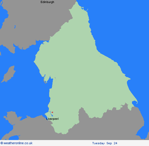
Wetterwarnungen Archiv: Dienstag 24.09.2024 10:45 MESZ - Großbritannien


00:00-06:00

06:00-12:00

12:00-18:00

18:00-24:00


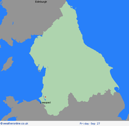
Unwetterwarnung: Regen
ausgegeben vom Metoffice at
08:45, 24.09.2024
gültig von
00:00, 26.09.2024
gültig bis
23:59, 26.09.2024
Region: North West England
A period of heavy and persistent rain is expected to affect parts of northern England and north Midlands during much of Thursday. The heaviest rainfall is likely to be across the Pennines and North York Moors where 80-100 mm of rainfall could accumulate during the course of the day. Elsewhere, totals are likely to be lower, reaching 20-30 mm widely but with a risk of 50-70 mm in some locations. Strong winds may also affect coastal locations and routes over high ground. What should I do? Check if your property could be at risk of flooding. If so, consider preparing a flood plan and an emergency flood kit. Give yourself the best chance of avoiding delays by checking road conditions if driving, or bus and train timetables, amending your travel plans if necessary. People cope better with power cuts when they have prepared for them in advance. It’s easy to do; consider gathering torches and batteries, a mobile phone power pack and other essential items. Be prepared for weather warnings to change quickly: when a weather warning is issued, the Met Office recommends staying up to date with the weather forecast in your area.
Chief ForecasterHeavy rain on Thursday could lead to some disruption, particularly to travel.
The public is advised to take extra care, further information and advice can be found here: http://www.metoffice.gov.uk/weather/uk/links.html

24.09.2024